
MAPIFYSTATS / ANIMATED MAPS / 05
One Raindrop’s Journey
Follow a mapped river reach downstream. Trace a connected river network, compare two starting reaches and illuminate upstream tributaries. Progress is illustrative, not a travel-time prediction.
USGS / EPA NHDPlusV2 official regional source releases and USGS NLDI geometry, archived October 4, 2026. Derived route catalog and animation by MapifyStats. · Source release, rights & limitations
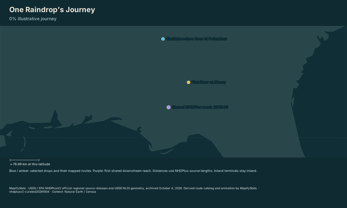
Apalachicola Bay / Gulf outlet / Apalachicola Bay / Gulf outlet. Both routes first share NHDPlus reach 2311949. Animation time is illustrative, with no prediction of water speed or arrival time.
| Place / record | Value | Definition |
|---|---|---|
| Chattahoochee River at Columbus | 403.67 km mapped downstream route | |
| Flint River at Albany | 281.53 km mapped downstream route |
The opening frame and source values work without JavaScript. Enable JavaScript to play, select places, compare or export.
USGS / EPA NHDPlusV2 official regional source releases and USGS NLDI geometry, archived October 4, 2026. Derived route catalog and animation by MapifyStats. · Source release, rights & limitations
Begin on the Chattahoochee reach at Columbus and the Flint reach at Albany. Each path follows actual downstream network identifiers.
USGS / EPA NHDPlusV2 official regional source releases and USGS NLDI geometry, archived October 4, 2026. Derived route catalog and animation by MapifyStats. · Source release, rights & limitations
Synchronized comparison
Both maps share replay progress and geographic scale. Source periods appear in each title.
What the map shows
Apalachicola Bay / Gulf outlet / Apalachicola Bay / Gulf outlet. Both routes first share NHDPlus reach 2311949. Animation time is illustrative, with no prediction of water speed or arrival time.
Drag to explore; manual map movement releases guided following. Particle movement and travel progress are illustrative. Attribution stays with every exported image.
Share this replay
Links include your selected public places, time, camera and exact source version. Review your selections before sharing.
Browser video recording is best effort, at 12 fps. A poster remains available when video capture is unsupported.
Accessible source values
| Place / record | Value | Definition |
|---|---|---|
| Chattahoochee River at Columbus | 403.67 km mapped downstream route | |
| Flint River at Albany | 281.53 km mapped downstream route |
Accessible comparison values
Sources, rights & limitations
USGS / EPA NHDPlusV2 official regional source releases and USGS NLDI geometry, archived October 4, 2026. Derived route catalog and animation by MapifyStats. Basemap: Natural Earth (public domain), U.S. Census Bureau/us-atlas (public domain). Ancient Earth uses the reconstructed source-model land instead.
Data release: nhdplusv2-curated20261004. Retrieved 2026-10-04T00:00:00Z. Commercial use: approved. Export rights: approved.
- https://api.water.usgs.gov/docs/nldi/navigation/
- https://www.epa.gov/waterdata/nhdplus-national-hydrography-dataset-plus
- https://www.usgs.gov/centers/sawsc/science/apalachicola-chattahoochee-flint-acf-river-national-water-quality-assessment
- https://pubs.usgs.gov/publication/wsp350
License: https://www.usgs.gov/information-policies-and-instructions/copyrights-and-credits
- HydroRIVERS was replaced with the rights-clear USGS / EPA NHDPlusV2 source because HydroSHEDS v1 has protective end-user license and stand-alone redistribution conditions.
- Only the curated ACF river paths and Bear River near Corinne are available. Reverse mode shows included upstream reaches, not a complete watershed.
- Starting choices are complete mapped reaches containing the named gage, not the exact gage position. Arbitrary map clicks are not routed.
- Edges follow source HYDROSEQ / DNHYDROSEQ identifiers and NLDI downstream mainstem paths. Diversions, groundwater, floods and unmapped tributaries are excluded.
- Animation progress and arrival times are illustrative; no hydrologic speed or forecast is calculated.
- The 2026 epoch labels this archived catalog, not a dated observation of river flow. Underlying source geometry dates are retained per reach.
- Mapped terminal flags identify network endpoints. Curated official USGS evidence classifies Apalachicola as an ocean outlet and Bear River as an inland Great Salt Lake terminal.
Units: distance: km, source NHDPlusV2 LENGTHKM · time: illustrative progress only.
Immutable manifest and asset checksums · Download normalized source scene