
MAPIFYSTATS / ANIMATED MAPS / 03
Gainesville: City Time Machine
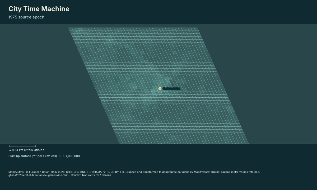
Watch the built-up surface of a city change. Explore historical GHSL snapshots within a fixed study window. Newly built-up surface appears between source epochs; cells do not date individual buildings.
© European Union, 1995–2026. GHSL GHS-BUILT-S R2023A, V1-0. CC BY 4.0. Cropped and transformed to geographic polygons by MapifyStats; original square-metre values retained. · Source release, rights & limitations
Gainesville: 13.89 km² of estimated built-up surface in the 1600 km² fixed window at source epoch 1975; +0.00 km² since 1975.
| Place / record | Value | Definition |
|---|---|---|
| Gainesville | 13.89 km² built-up | |
| Change since 1975 | 0 km² |
The opening frame and source values work without JavaScript. Enable JavaScript to play, select places, compare or export.
© European Union, 1995–2026. GHSL GHS-BUILT-S R2023A, V1-0. CC BY 4.0. Cropped and transformed to geographic polygons by MapifyStats; original square-metre values retained. · Source release, rights & limitations
Start in 1975. The same 1,600 square-kilometre study window follows the city at every epoch.
© European Union, 1995–2026. GHSL GHS-BUILT-S R2023A, V1-0. CC BY 4.0. Cropped and transformed to geographic polygons by MapifyStats; original square-metre values retained. · Source release, rights & limitations
Synchronized comparison
Both maps share replay progress and geographic scale. Source periods appear in each title.
What the map shows
Gainesville: 13.89 km² of estimated built-up surface in the 1600 km² fixed window at source epoch 1975; +0.00 km² since 1975.
Drag to explore; manual map movement releases guided following. Particle movement and travel progress are illustrative. Attribution stays with every exported image.
Share this replay
Links include your selected public places, time, camera and exact source version. Review your selections before sharing.
Browser video recording is best effort, at 12 fps. A poster remains available when video capture is unsupported.
Accessible source values
| Place / record | Value | Definition |
|---|---|---|
| Gainesville | 13.89 km² built-up | |
| Change since 1975 | 0 km² |
Accessible comparison values
Sources, rights & limitations
© European Union, 1995–2026. GHSL GHS-BUILT-S R2023A, V1-0. CC BY 4.0. Cropped and transformed to geographic polygons by MapifyStats; original square-metre values retained. Basemap: Natural Earth (public domain), U.S. Census Bureau/us-atlas (public domain). Ancient Earth uses the reconstructed source-model land instead.
Data release: ghsl-r2023a-v1-0-tallahassee-gainesville-1km. Retrieved 2026-10-04. Commercial use: approved. Export rights: approved-with-attribution.
- https://jeodpp.jrc.ec.europa.eu/ftp/jrc-opendata/GHSL/GHS_BUILT_S_GLOBE_R2023A/GHS_BUILT_S_E1975_GLOBE_R2023A_54009_1000/V1-0/tiles/GHS_BUILT_S_E1975_GLOBE_R2023A_54009_1000_V1_0_R6_C11.zip
- https://jeodpp.jrc.ec.europa.eu/ftp/jrc-opendata/GHSL/GHS_BUILT_S_GLOBE_R2023A/GHS_BUILT_S_E1980_GLOBE_R2023A_54009_1000/V1-0/tiles/GHS_BUILT_S_E1980_GLOBE_R2023A_54009_1000_V1_0_R6_C11.zip
- https://jeodpp.jrc.ec.europa.eu/ftp/jrc-opendata/GHSL/GHS_BUILT_S_GLOBE_R2023A/GHS_BUILT_S_E1985_GLOBE_R2023A_54009_1000/V1-0/tiles/GHS_BUILT_S_E1985_GLOBE_R2023A_54009_1000_V1_0_R6_C11.zip
- https://jeodpp.jrc.ec.europa.eu/ftp/jrc-opendata/GHSL/GHS_BUILT_S_GLOBE_R2023A/GHS_BUILT_S_E1990_GLOBE_R2023A_54009_1000/V1-0/tiles/GHS_BUILT_S_E1990_GLOBE_R2023A_54009_1000_V1_0_R6_C11.zip
- https://jeodpp.jrc.ec.europa.eu/ftp/jrc-opendata/GHSL/GHS_BUILT_S_GLOBE_R2023A/GHS_BUILT_S_E1995_GLOBE_R2023A_54009_1000/V1-0/tiles/GHS_BUILT_S_E1995_GLOBE_R2023A_54009_1000_V1_0_R6_C11.zip
- https://jeodpp.jrc.ec.europa.eu/ftp/jrc-opendata/GHSL/GHS_BUILT_S_GLOBE_R2023A/GHS_BUILT_S_E2000_GLOBE_R2023A_54009_1000/V1-0/tiles/GHS_BUILT_S_E2000_GLOBE_R2023A_54009_1000_V1_0_R6_C11.zip
- https://jeodpp.jrc.ec.europa.eu/ftp/jrc-opendata/GHSL/GHS_BUILT_S_GLOBE_R2023A/GHS_BUILT_S_E2005_GLOBE_R2023A_54009_1000/V1-0/tiles/GHS_BUILT_S_E2005_GLOBE_R2023A_54009_1000_V1_0_R6_C11.zip
- https://jeodpp.jrc.ec.europa.eu/ftp/jrc-opendata/GHSL/GHS_BUILT_S_GLOBE_R2023A/GHS_BUILT_S_E2010_GLOBE_R2023A_54009_1000/V1-0/tiles/GHS_BUILT_S_E2010_GLOBE_R2023A_54009_1000_V1_0_R6_C11.zip
- https://jeodpp.jrc.ec.europa.eu/ftp/jrc-opendata/GHSL/GHS_BUILT_S_GLOBE_R2023A/GHS_BUILT_S_E2015_GLOBE_R2023A_54009_1000/V1-0/tiles/GHS_BUILT_S_E2015_GLOBE_R2023A_54009_1000_V1_0_R6_C11.zip
- https://jeodpp.jrc.ec.europa.eu/ftp/jrc-opendata/GHSL/GHS_BUILT_S_GLOBE_R2023A/GHS_BUILT_S_E2020_GLOBE_R2023A_54009_1000/V1-0/tiles/GHS_BUILT_S_E2020_GLOBE_R2023A_54009_1000_V1_0_R6_C11.zip
- Fixed 40×40 km equal-area study windows aligned to GHSL cells; these are not municipal boundaries.
- 1 km source cells describe estimated built-up surface, not individual buildings or construction dates.
- 1975–2020 values combine satellite observations and modelling/interpolation. 2025 and 2030 projections are excluded.
- Presentation can blend cells between snapshots; numerical summaries always use the labelled source epoch.
- Local shoreline, classification uncertainty, and corrections can create decreases. Missing cells remain unknown.
Units: builtSurface: m² · summary: km² · cellSize: 1000 m.
Immutable manifest and asset checksums · Download normalized source scene