
MAPIFYSTATS / ANIMATED MAPS / 06
Tokyo: Ancient Earth
Your place, on a much older planet. Follow model-evaluated plate reconstructions through geological ages and compare two places using geodesic separation.
Müller et al. (2019), model dataset v1.2, doi:10.5281/zenodo.10525287, CC BY 4.0. Locations and generalized coastlines reconstructed with pyGPlates 1.0.0; visualization changes by MapifyStats. · Source release, rights & limitations
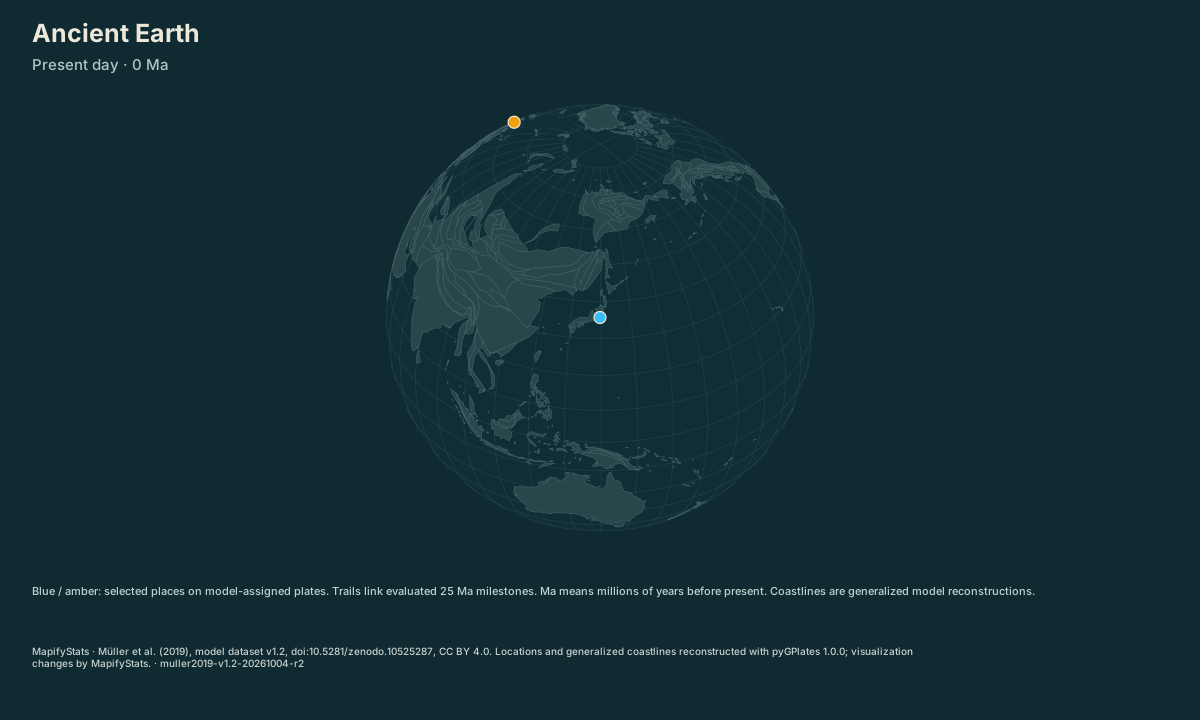
Tokyo and London at 0 Ma in Müller et al. (2019), model v1.2; reconstructed separation 9,559 km. Every pin and coastline is evaluated at the labeled age.
| Place / record | Value | Definition |
|---|---|---|
| Tokyo | 0 km from present-day coordinate | |
| London | 0 km from present-day coordinate | |
| Tokyo ↔ London | 9,558.74 km separation |
The opening frame and source values work without JavaScript. Enable JavaScript to play, select places, compare or export.
Müller et al. (2019), model dataset v1.2, doi:10.5281/zenodo.10525287, CC BY 4.0. Locations and generalized coastlines reconstructed with pyGPlates 1.0.0; visualization changes by MapifyStats. · Source release, rights & limitations
Each present-day location is assigned to a specific plate in the Müller 2019 model.
Müller et al. (2019), model dataset v1.2, doi:10.5281/zenodo.10525287, CC BY 4.0. Locations and generalized coastlines reconstructed with pyGPlates 1.0.0; visualization changes by MapifyStats. · Source release, rights & limitations
Synchronized comparison
Both maps share replay progress and geographic scale. Source periods appear in each title.
What the map shows
Tokyo and London at 0 Ma in Müller et al. (2019), model v1.2; reconstructed separation 9,559 km. Every pin and coastline is evaluated at the labeled age.
Drag to explore; manual map movement releases guided following. Particle movement and travel progress are illustrative. Attribution stays with every exported image.
Share this replay
Links include your selected public places, time, camera and exact source version. Review your selections before sharing.
Browser video recording is best effort, at 12 fps. A poster remains available when video capture is unsupported.
Accessible source values
| Place / record | Value | Definition |
|---|---|---|
| Tokyo | 0 km from present-day coordinate | |
| London | 0 km from present-day coordinate | |
| Tokyo ↔ London | 9,558.74 km separation |
Accessible comparison values
Sources, rights & limitations
Müller et al. (2019), model dataset v1.2, doi:10.5281/zenodo.10525287, CC BY 4.0. Locations and generalized coastlines reconstructed with pyGPlates 1.0.0; visualization changes by MapifyStats. Basemap: Natural Earth (public domain), U.S. Census Bureau/us-atlas (public domain). Ancient Earth uses the reconstructed source-model land instead.
Data release: muller2019-v1.2-20261004-r2. Retrieved 2026-10-04T00:00:00Z. Commercial use: approved. Export rights: approved.
License: https://zenodo.org/records/10525287/files/License.txt?download=1
- One model and six tested present-day locations; arbitrary user coordinates and additional models are not supported.
- Point assignments use the model static plate polygons and valid-time intervals. They do not resolve local deformation within plates.
- The interface snaps to evaluated 25 Ma milestones between 0 and 250 Ma; trails connect those evaluated positions for illustration.
- Honolulu is assigned to oceanic plate 901 with a valid age limit of 83 Ma; older positions remain unavailable rather than inventing motion.
- Coastlines are a generalized overview of model polygons; small islands and fine shoreline details are omitted.
- Coordinates alone do not establish ancient climate, habitat, elevation, water depth, or the position of a modern building.
Units: age: million years before present (Ma) · separation: km, shorter great-circle.
Immutable manifest and asset checksums · Download normalized source scene